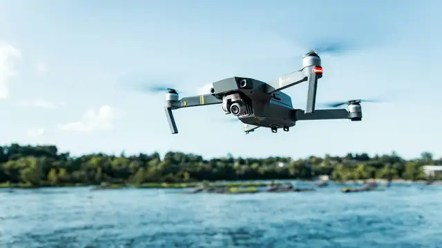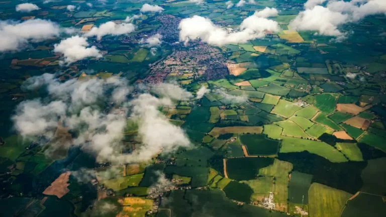

Based on FAA rules and 14 CFR 107.51, linked below.
Short answer: in the US, the legal limit for most drone flights is 400 feet above ground level (AGL). Many consumer drones can physically climb much higher, but the rules, not the hardware, set your ceiling.
Recreational flyers
- Uncontrolled (Class G) airspace: at or below 400 feet (FAA).
- Controlled airspace near airports: only with prior authorization through LAANC or DroneZone, and only up to the altitude you’re authorized for. The FAA sets those limits grid by grid on its UAS facility maps, and close to runways they can be very low or zero.
Part 107 pilots
Under 14 CFR 107.51 a drone can’t fly higher than 400 feet AGL, unless it’s within a 400-foot radius of a structure and no more than 400 feet above the structure’s top. That exception exists for things like tower and building inspections. Controlled airspace still needs authorization, and higher flights need a waiver.
Why 400 feet?
Crewed aircraft generally fly higher than 500 feet except during takeoff and landing, but helicopters, crop dusters, and medical flights routinely fly low. The 400-foot limit leaves a buffer, but it doesn’t guarantee separation, so you still have to watch and listen for other aircraft and give way.
What “above ground level” means in practice
- Altitude is measured from the ground directly below the drone, not from your takeoff point. If you launch on a hilltop and fly out over a valley, the drone’s height above the ground underneath can be well over 400 feet even though your app shows less.
- Most apps show height above the takeoff point, so be conservative in hilly terrain.
- Set a maximum-altitude limit in your drone’s app (for example 120 m / 390 ft) as a safety net.
Other limits that matter more than height
- Visual line of sight: a small drone becomes hard to see well before 400 feet away, especially against a bright sky.
- Wind: wind usually gets stronger with height. See Drone Weather and Wind Limits.
- Range and signal: see What Is the Range of a Drone?